
We're on holidays in the Snowy Mountains!! It was a beautiful clear sunny day and we took the opportunity to walk the Main Range Track with views of Australia's highest peaks.

The track starts at Charlotte Pass, amongst granite boulders and beautiful Snow Gums.


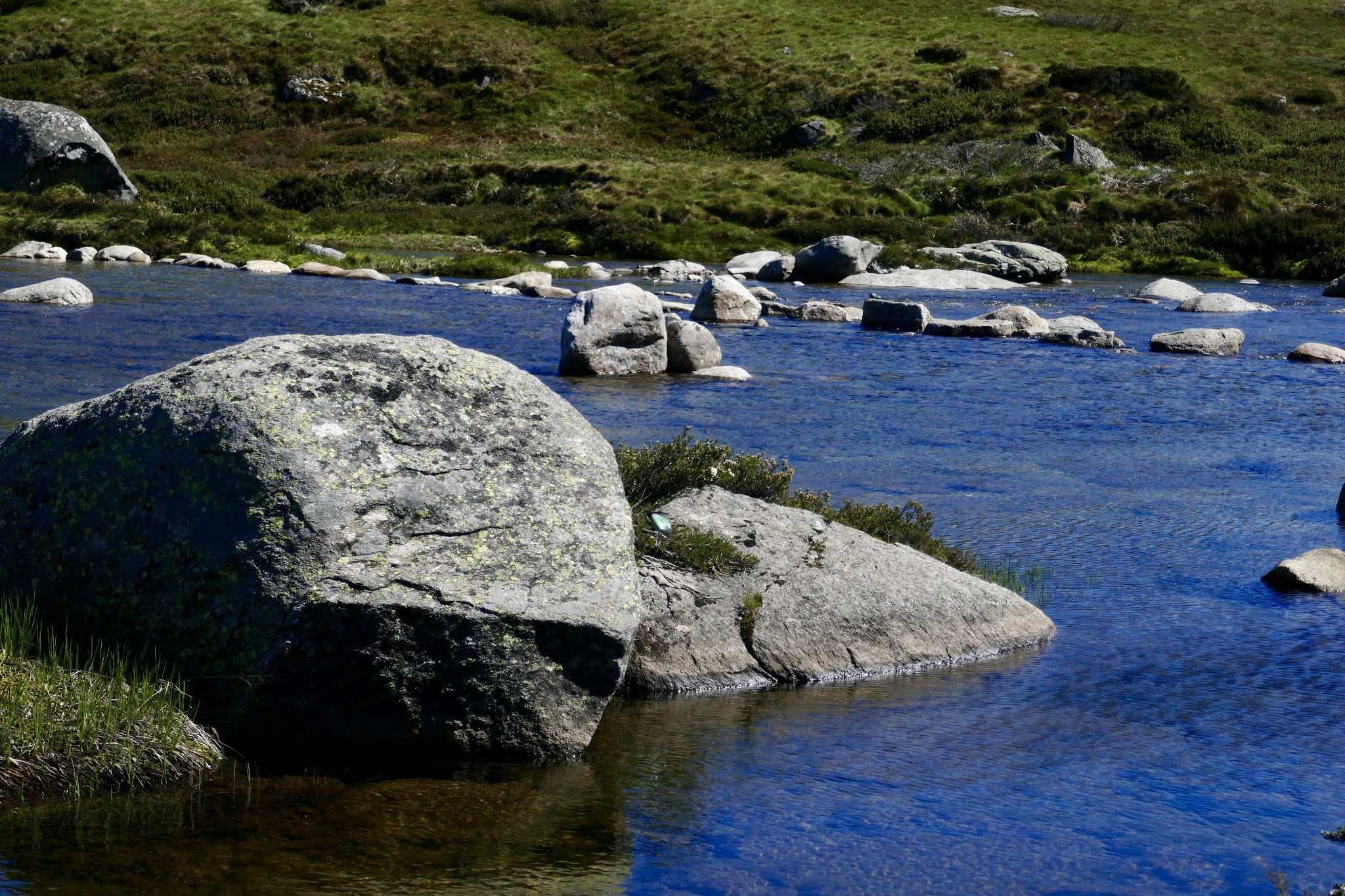
From there we descend quickly to the Snowy River - still a relatively small stream at this point.
Then the path winds up

and up

and up (the app said it was the equivalent of 160 floors)!

Blue Lake (below) is a glacial lake 28 metres deep.

As we climbed higher the track passed through some of the last remaining snow drifts.

At last, the top!

From here we traverse part of the spine of Australia - the Great Dividing Range. In the foreground, that snow melt drains east into the Snowy River and finally the Pacific Ocean. And just over the top, it drains west into the Geehi and Murray Rivers and eventually into the Southern Ocean near Adelaide.

Here's a view looking west - pretty rugged.

We passed a school group on excursion at one point - not a bad way to do geography!

Walking ramps to protect fragile plants and grasses from being trampled and curb erosion.

There's plenty of evidence of glacial activity millennia ago. This is Lake Albina.

Up we went again - more snowdrifts and a perfectly blue sky.

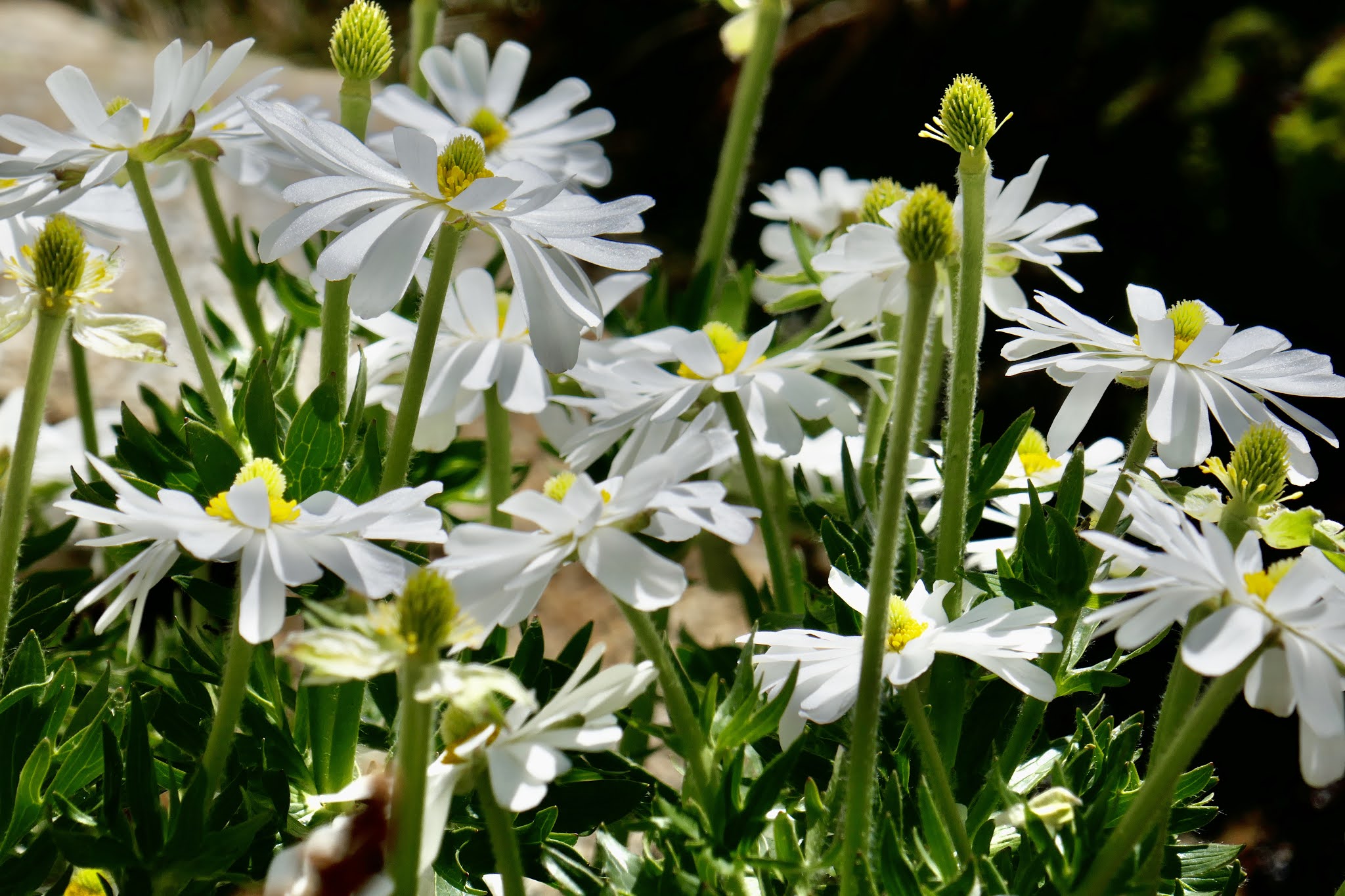
And also some wildflowers.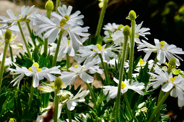
Gotta love that granite!

And that girl!

Eventually, we circumnavigate the headwaters of the Snowy River and head for home.

Back across the river.

It's all downhill from here - 8 kms and we're back at Charlotte Pass.

It was a shortish distance by Camino standards (22km), but a considerably steeper one and just wonderful to be out and about in this vast landscape. Our packs enjoyed the outing too!
No comments:
Post a Comment